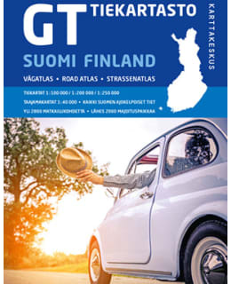
The 24th revised edition of the GT Road Map has been made with motorists in mind. The wire-bound atlas is easy to use in the car, and the pages stay open with ease. On the map surface, the most important thing is an up-to-date road description and nomenclature, as well as various service and tourism information of interest to road users.
The main content of the atlas are reliable and easy-to-read road maps produced with the needs of motorists in mind: southern Finland up to the height of Oulu is presented on a scale of 1:200,000. The scale of the Northern Finland map pages is 1:250,000. The metropolitan area and Turku, Tampere and Oulu and their surroundings are also shown on more detailed 1:100,000 maps. There are also agglomeration maps of the largest cities on a scale of 1:40,000.
All drivable roads, road and junction numbers, distances, place names and road surface information are clearly visible on the road maps. More than 2,800 tourist destinations have been collected on the maps and there are almost 2,000 accommodation destinations on the maps. In addition to the maps, the atlas also contains traffic signs and a table of distances. The atlas' index of more than 60,000 names also includes parallel names in Swedish and Sámi in Finland.
- Scale 1:200,000/1:250,000/1:100,000
- Size 22 x 30 cm
- Number of pages 336
- Outerwear/bondage twisted