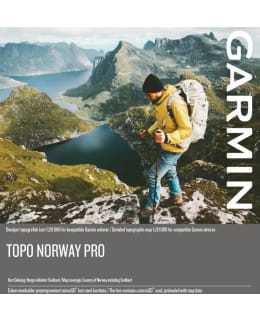
Get ready for your next great outdoor adventure in Norway. The product is packed with handy features for recreational activities such as hiking, road cycling, touring, mountain biking and hunting.
Includes the latest 1:20 000 and 1:50 000 scale topographic maps designed by Statens Kartverket, covering the whole of Norway.
Recommends translation-specific adapted routes in the road and trail network based on walking and cycling activity profiles
Includes popularity-based Trendline™ routing on GPS devices that support the feature. See the best road and off-road routes with millions of miles of Garmin Connect™ driving data
Offers endless destinations and a database of millions of searchable destinations, including fishing spots, ski resorts, campgrounds, lodging and more. Shows hundreds of locations of cabins (from all over the country), huts and shelters based on information from the Norwegian Trekking Association
Includes land cover and property register property data to help identify hunting areas
Displays elevation curves (every 10 m) for almost the entire Norwegian territory (otherwise every 20 m) and includes a digital elevation model for 3D viewing and elevation shading. Route profile preview is available in our free downloadable BaseCamp™ trip planning software for compatible Garmin GPS devices
Compatible with BaseCamp software. It allows you to plan your trip on your computer and transfer routes and waypoints from your computer to a compatible device
microSD™/SD card