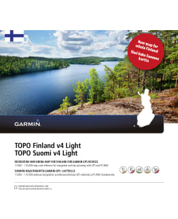
Garmin Topo Finland v4 Light map
€69.90
or from/ month
Out of stock for online purchase
We can remind you when this item will be back in stock
Shipping starting from €4.50
Free returns for 30 days
Fast and versatile delivery options
Tämän kanssa ostettiin
15050
15050
15050
15050
15050
15050
15050
15050
15050
15050
15050
15050
Samankaltaisia tuotteita
15050
15050
15050
15050
15050
15050
15050
15050
15050
15050
15050
15050
Nämä voisivat kiinnostaa myös
15050
15050
15050
15050
15050
15050
15050
15050
15050
15050
15050
15050